Temporal Imagery:
Documenting how landscapes change over time in the Grass Valley & Lake Tahoe region.
Gain New Perspective with Updated Aerial Imagery.
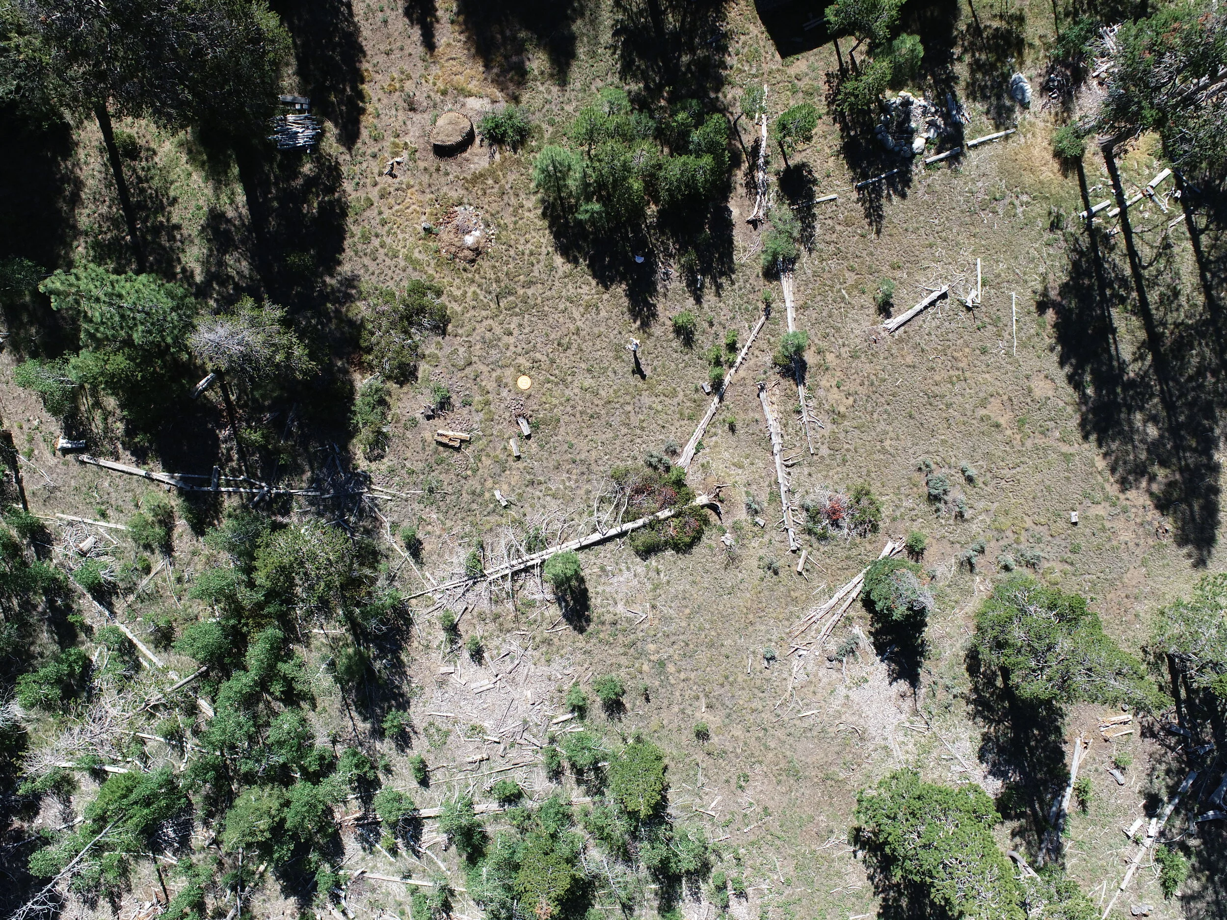
Photographs taken from 200 feet above ground level will give you new perspective and help with your land management decisions.
Repeat flights can help you see changes over time in your landscape and track progress on restoration or fuel reduction projects.
Contact Us for More Information
Send us a note to learn more or to collaborate on a project.