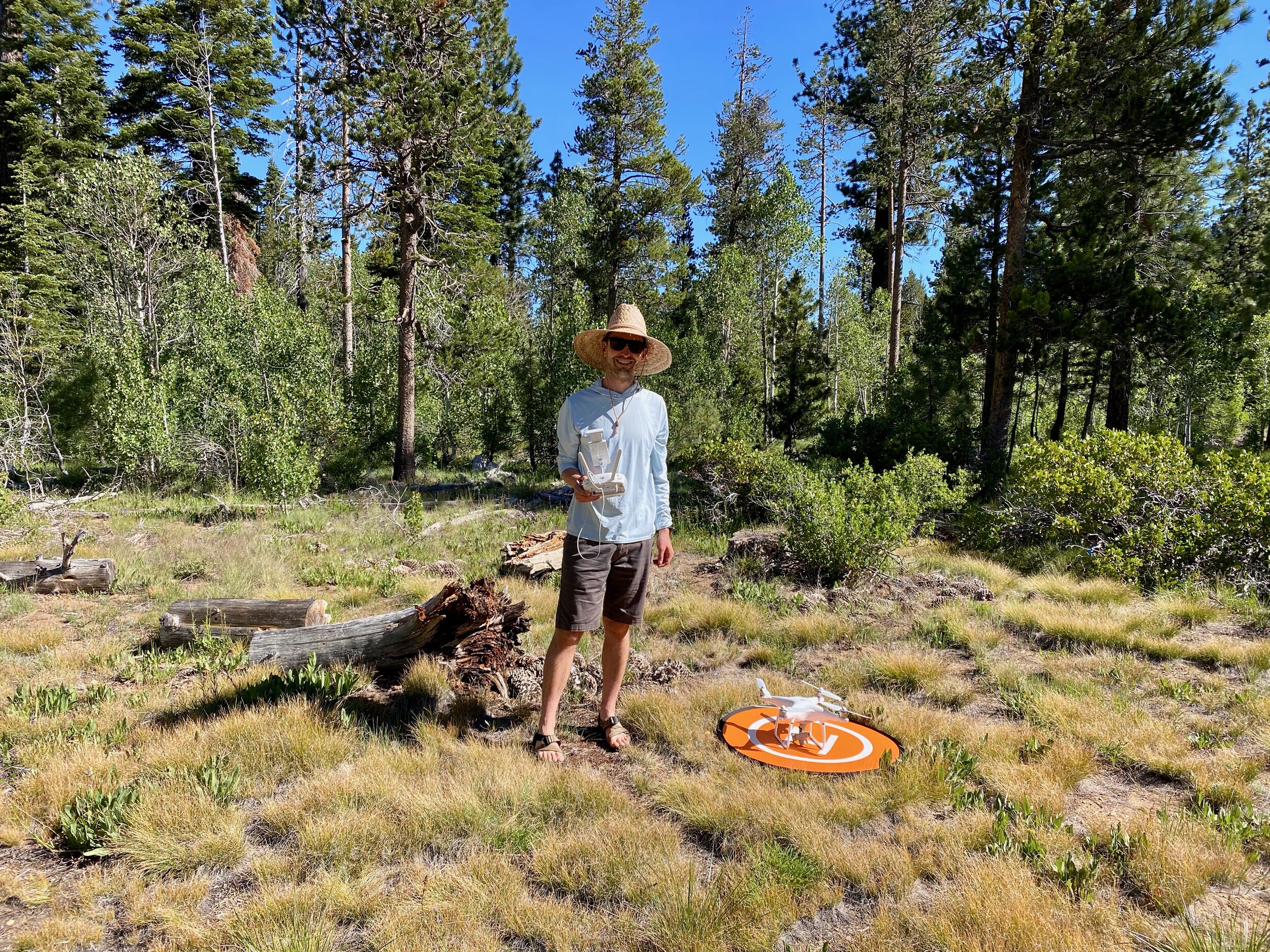
Drones offer a “birds-eye view” of your local landscape, allowing for rapid data collection.

As a math and science teacher, Devin looks for ways to engage his students in ecology and help them apply their mathematical thinking to real-world problems.
Aerial imagery (photographs taken from above a landscape using an airplane, satellite, or drone) help us see and understand the landscape and topography in a different way than from the ground.
Drones or Unmanned Aircraft Systems (UAS), are an affordable way to collect high resolution imagery and longterm monitoring, throughout the seasons or before and after restoration projects.
This aspect of repeatability allows us to track how a landscape is changing over time, such as following a wildfire. Thus the name, Temporal (relating to time) Imagery.
Contact Us
Looking for more information? Send us a message!