Happy New Year!
Welcome 2021! The new year is a great time to reflect on the past year, and set new goals for the coming year.
Looking back on 2020, it turns out that drone photography is actually a pretty great hobby during a pandemic. While most summers would have been full of fun days with friends and family at the river, this summer my wife and I were sheltering at home with our infant daughter. Monthly trips to the family cabin in Lake Tahoe helped us keep sane, and the national forest provided a perfect subject to practice aerial photography and mapping.
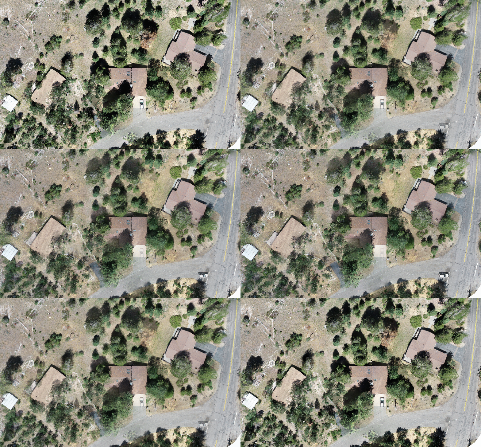
Looking back at the projects I’ve completed or begun so far, I see two distinct types. The first, where imagery can be overlaid to visualize the changes in a landscape, and the second, where GIS software is used to quantify specific metrics, such as land or vegetation cover type.
Let’s start with the first type, where imagery is compared visually:
Visualizing the removal of several dead trees around homes
Watching the seasons change on the Upper Truckee river
Upper Truckee River - January 2021
The other category of project is where imagery is used to calculate and quantify change over time. A good example of this project type is using RGB data to quantify vegetation cover on a property, or within a certain distance of a structure. You can read more about that project here.
In the above imagery, vegetation is highlighted in green and comprises 63% of the site. This would be an excellent site to return to and compare vegetation coverage now in winter when the oaks have lost all their leaves.
My goal for 2021 is to continue collecting imagery on the sites where I have been working, but also to find new sites to begin collecting imagery. My hope is that as more imagery is collected and compared, interesting research questions will surface and I can go back to the imagery collected across time and locations to answer those questions.
If you’re interested in this type of imagery and want to collaborate, let me know using the contact form.
Thanks for reading, and happy new year!


